Knowing your property lines is key for homeowners to safeguard their investments. A property boundary survey sets the legal limits of your land. This can stop disputes with neighbors and keep you in line with local rules.
At Whetzel Homes Collective, we know finding property lines can be tricky. Sometimes, lines are clear like fences or roads. But often, they’re invisible and need a pro to find.
In St. George, Utah, and the U.S., knowing your land’s exact limits is vital. A detailed property boundary survey gives you clear answers and legal safety for your property.
Key Takeaways
- Property lines define the legal boundaries of your land
- Professional surveys cost between $330 and $670 typically
- Multiple methods exist to locate property boundaries
- Digital and physical tools can help identify property lines
- Understanding your property boundaries prevents possible disputes
Understanding Property Lines and Their Importance
Property lines are key boundaries that show exactly how much land you own. Many homeowners think they know their property lines, but the legal details are often unclear. These invisible lines are vital in real estate. They decide what you own and where your rights start and end.
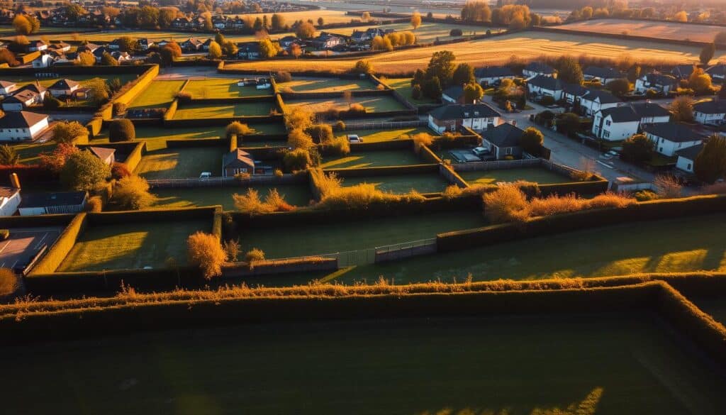
To understand property lines, you need to know a few important things. Finding property corners often requires professional help.
What Defines a Property Line
Property lines can be marked in several ways:
- Physical survey markers
- Iron survey pins
- Natural landmarks
- Documented legal property descriptions
- Plat maps from county records
Legal Significance of Property Boundaries
Legal property descriptions are very important in real estate deals. About 30% of property disputes come from unclear boundaries. So, having accurate documentation is key.
| Boundary Identification Method | Accuracy Rate | Cost Range |
|---|---|---|
| Professional Land Survey | 95% | $300 – $1,000 |
| GPS Surveying | 90% | $500 – $800 |
| Drone Surveying | 85% | $400 – $750 |
Impact on Home Ownership
Property lines affect homeowners in many ways:
- They decide what you can build or renovate.
- They can lead to legal issues with neighbors.
- They impact how much your property is worth.
- They affect zoning and permits.
Knowing your property lines can save you thousands in legal fees and avoid neighborhood problems.
Professional Land Survey Services

Getting the exact lines of your property is a job for the pros. Land surveyors use top-notch techniques to draw up your property’s borders with great precision. Often, a mortgage company needs a survey to check the land’s value and avoid legal trouble.
When you hire a land surveyor, you’re getting a key player in the game. They do a lot of important work:
- Measuring and mapping property boundaries
- Using landmarks and old documents
- Finding any boundary problems or encroachments
- Creating detailed maps of your property
How much you’ll pay for a survey can vary. It’s usually between $376 and $768, with an average of $543. The cost depends on where you are, how complex your property is, and what kind of survey you need. Professional surveyors also have insurance to protect everyone involved.
There are different types of surveys for different needs:
- Land surveys
- Topographic surveys
- Mortgage surveys
- Floodplain surveys
Before you can get a renovation permit, you might need a survey. Lenders and title companies also ask for surveys to close on a home. This shows how important they are in real estate.
Pro tip: Be present during the survey to enhance accuracy and understand your property lines better.
To find a good surveyor, check with your state’s surveying society. They’re part of the National Society of Professional Surveyors (NSPS). Getting a full survey can prevent legal issues and give you peace of mind about your property’s borders.
Using County Records and Official Documents
Understanding property boundaries starts with knowing where to look in local government offices. These places hold key documents that show exactly where your land starts and ends. This is vital for homeowners and investors.
Finding official property documents takes a few steps and might cost some money. But, there are many resources to help you find all you need to know about your land’s edges.
Accessing Property Deeds
Property deeds are essential for knowing who owns the land. Here’s what you might pay:
- Standard search fee: $5.00 per property
- Document copy fee: $1.00 per page
- Certified document fee: Additional $5.00
- Free searches available at County Administration Building
Reading Plat Maps
Plat maps show where properties are in relation to each other. They are like blueprints for the land. These maps help you see how different plots fit together.
| Document Type | Cost | Availability |
|---|---|---|
| 24×36 inch Plat Map | $5 per page | Clerk & Comptroller’s Office |
| Online Document Images | $1.00 per page | Available from 1990 to present |
| Archived Records | Free | Documents from 1876-1974 |
Understanding Legal Descriptions
Legal descriptions give you exact measurements and markers for property lines. Metes and bounds use distances and directions to pinpoint property edges.
Professional tip: Always check if documents are real. Also, talking to a local surveyor can help confirm your property’s boundaries.
Digital Tools and Technology for Property Line Location
Modern technology has changed how we find out about property lines. Now, digital mapping tools help us read survey maps and find property boundaries more accurately.
Many digital tools help property owners find their property lines:
- Geographic Information Systems (GIS)
- Online mapping services
- GPS-enabled smartphone applications
- Satellite imagery platforms
Google Maps is a good start for seeing property lines. About 70% to 90% of property line apps offer free trial periods. This makes it easy for homeowners to start looking into their boundaries.
“Digital tools are helpful, but should not replace professional land surveys for definitive boundary determination.”
Apps like LandGlide have made finding property lines easier. Online county records can give more boundary info. Many places offer free or cheap access to property documents.
Even with digital tools, professional land surveys are the best for exact property sizes. Homeowners should see digital tools as extra help, not the final answer.
- Verify digital mapping information
- Cross-reference multiple sources
- Consult local zoning departments
- Consider professional survey services
Knowing what digital mapping can and can’t do helps homeowners make smart choices about finding their property lines.
How to Find Property Lines Using Google Maps
Finding property lines can be tough for homeowners and real estate fans. Google Maps is a handy tool to start with. But, it’s key to know its limits.
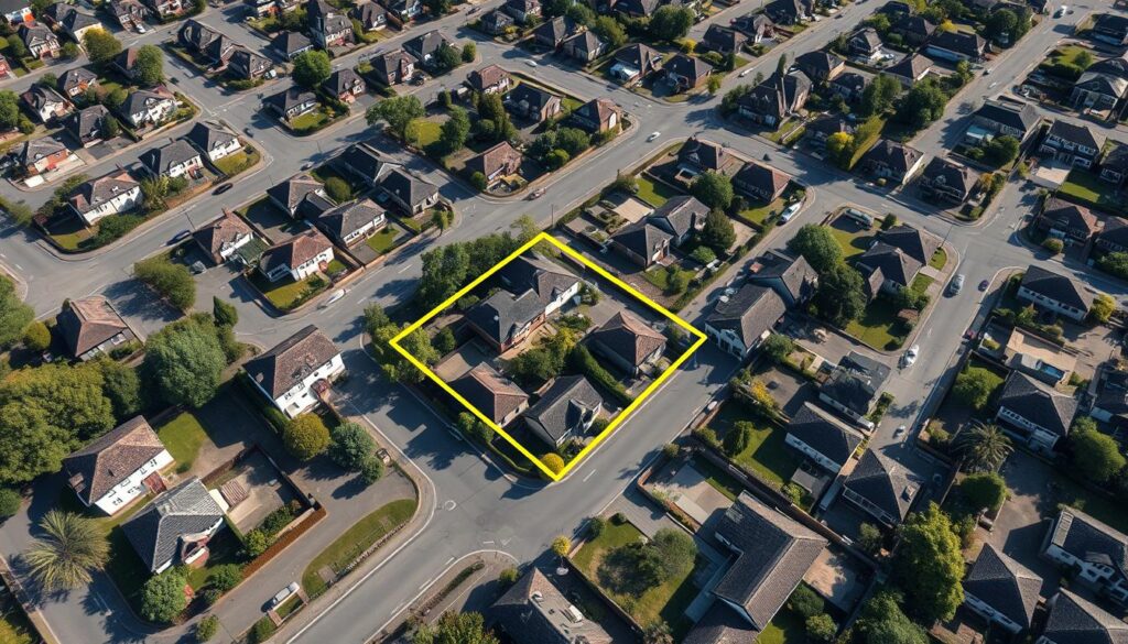
Digital mapping has changed how we look at property lines. It gives us clear views. Yet, Google Maps isn’t a final word on property lines.
Step-by-Step Navigation Guide
Here’s how to use Google Maps to find property lines:
- Open Google Maps and type in your property’s address
- Switch to satellite view for better details
- Use the ‘Measure Distance’ tool to guess property lines
- Zoom in to spot landmarks
Digital Mapping Accuracy Considerations
It’s vital to know digital mapping’s limits when figuring out property sizes. Google Maps is a good start, but it can’t replace a pro survey.
| Mapping Tool | Accuracy Level | Recommended Use |
|---|---|---|
| Google Maps | Approximate | Initial research |
| Professional Survey | 100% Precise | Legal documentation |
| County GIS | High | Official records |
For exact legal boundaries, check local records or get a surveyor. Google Maps is just the first step in finding property lines.
Digital mapping offers useful insights, but can’t replace the skill of a land surveyor.
Physical Markers and Survey Monuments
Understanding physical boundary markers is key to knowing who owns what land. Survey monuments are essential. They help everyone find property lines accurately.
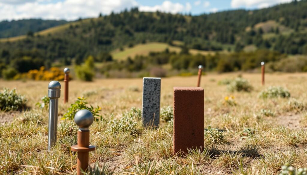
Survey experts use different markers to mark property lines. These markers include:
- Iron pins
- Concrete monuments
- Wooden stakes
- Natural landmarks
- Permanent metal markers
These markers are very important. Moving or changing them can lead to big legal problems. Surveyors put them in during the first land survey. They help identify boundaries for a long time.
“Survey monuments are the silent guardians of property boundaries, telling the story of land ownership through precise physical markers.” – Professional Surveyor Association
To find property corners, you can:
- Use metal detectors to find buried pins
- Look at county records
- Hire a professional land surveyor
- Check your property documents
| Marker Type | Typical Depth | Durability |
|---|---|---|
| Iron Pins | 1-2 feet | High |
| Concrete Monuments | Surface Level | Very High |
| Wooden Stakes | 6-12 inches | Low |
Studies show 90% of land experts say it’s vital to keep survey marks safe. Knowing where these markers are can stop fights over land and legal issues.
Property Line Apps and GPS Technology
Modern technology has made finding property boundaries easier. Now, GPS-enabled apps help determine property dimensions and locate lines without old-school surveys.
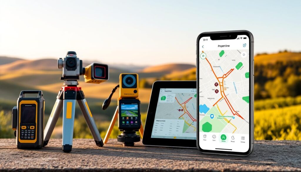
Digital tools have changed how we find property lines. These apps use advanced mapping to give quick access to property info.
Top Property Line Mapping Apps
- LandGlide: A detailed property data app
- Mapulator: Easy boundary mapping
- onX Hunt: Offers detailed property info
App Features and Performance
| App Name | County Coverage | Key Features | Pricing |
|---|---|---|---|
| LandGlide | 3,200+ counties | Parcel records, owner info | $9.99/month or $99.99/year |
| Mapulator | Nationwide coverage | GPS mapping, area calc | Free |
| onX Hunt | 3,100+ counties | Landowner details, hunting zones | Subscription-based |
These apps are great for finding property lines, but they’re not a full replacement for professional surveys. They give a good starting point for understanding your land.
Accuracy and Limitations
Property line apps use GPS for rough estimates. Remember, they’re not exact. For precise measurements, always go with a professional surveyor.
Reading and Interpreting Metes and Bounds
Metes and bounds are a traditional way to describe property lines. They have been used for centuries in land surveying. This method uses specific measurements and directions to define property boundaries.
The core of a metes and bounds description starts with a point of beginning (POB). This is the starting point for measuring property lines. It can be a natural landmark or a survey monument.
- Measurements are typically described using:
- Compass directions
- Angular measurements
- Linear distances
- Specific landmarks
In the United States, metes and bounds are common in states with irregular terrain. They are used in older property divisions. These descriptions give a precise way to define property lines with directional calls and distance measurements.
A typical metes and bounds description might read: “Beginning at a stone marker, thence N45°E 200 feet, thence S60°E 150 feet…”
Land surveying techniques have changed, but metes and bounds are key for property documentation. About 50% of U.S. counties use these detailed descriptions for property records.
Understanding these descriptions can be tricky. Property owners and real estate professionals need special knowledge. Professional surveyors can help make sense of complex metes and bounds descriptions, ensuring accurate boundary identification.
Working with Local Zoning Departments
Understanding property boundaries means knowing how local zoning departments work. These offices are full of important land records. They help homeowners and investors figure out their property’s exact size and where it starts and ends.
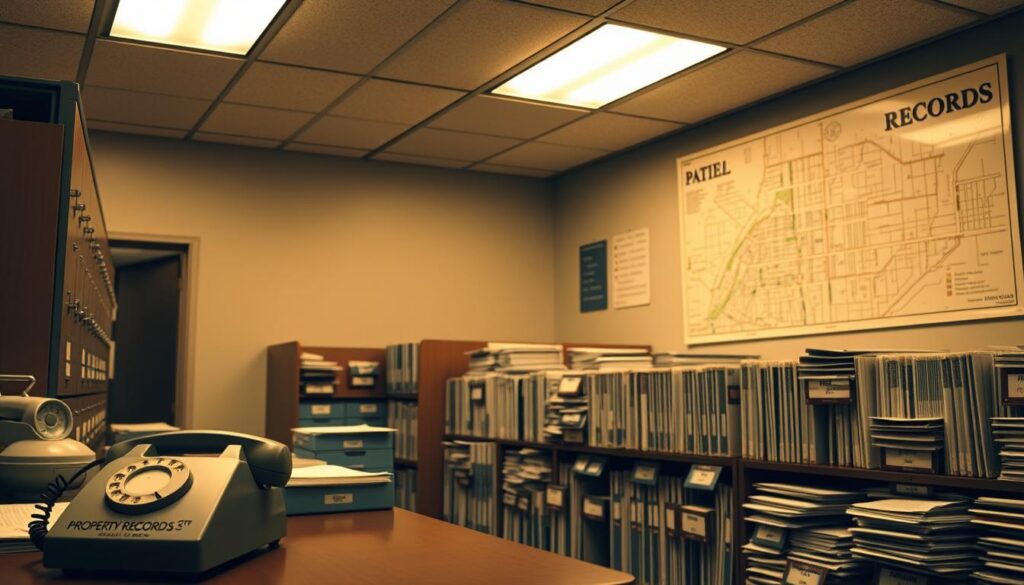
Local zoning departments keep detailed records that help with property surveys. Their files have the info needed to accurately measure property sizes and boundaries.
Required Documentation for Property Research
To find out about property lines, you need certain documents and to know how to research. You’ll need:
- Current property deed
- Parcel identification number
- Proof of property ownership
- Valid government-issued identification
Accessing Historical Property Records
Old records are key to understanding property boundaries. Most places let you get these documents in a few ways:
- Visiting the zoning department in person
- Using online record search systems
- Getting certified copies of plat maps
The price to get these records can change. It usually costs between $10 and $50, based on where you are and how hard it is to find the info.
| Record Type | Availability | Average Cost |
|---|---|---|
| Plat Maps | Most Counties | $15-$30 |
| Property Surveys | Selected Jurisdictions | $25-$50 |
| Digital Records | Online Platforms | $10-$25 |
To get the most accurate survey, experts say to use zoning department records and other methods. This way, you’ll understand your property’s dimensions fully.
DIY Property Line Measurement Techniques

Discovering your property lines doesn’t always need a professional. Homeowners can use DIY methods to understand their property boundaries. These methods give rough measurements, but they’re not for legal use.
Key tools for finding property lines include:
- Long measuring tape (100 feet recommended)
- Compass or smartphone GPS app
- Smartphone with property line tracking applications
- Stake markers or flags
- Graph paper for sketching
DIY land surveying techniques help you sketch your property lines. Start by finding existing markers like:
- Concrete monuments
- Iron rods
- Permanent boundary stakes
- Fence lines
Modern tech makes measuring property lines easier. About 95% of the U.S. population can access property line data through apps like LandGlide. These apps give more info on your property lines.
But, DIY methods have limits. 50% of homeowners don’t have a current property survey. This can cause boundary disputes. Always get a professional survey for legal needs.
Common Property Line Disputes and Resolution
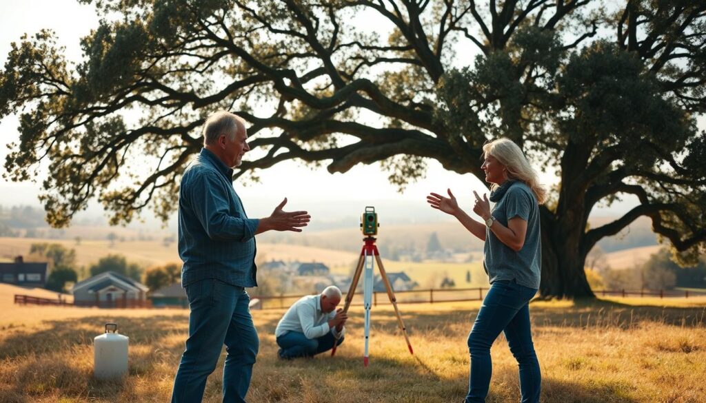
Property line disputes can quickly turn a friendly neighbor into a legal foe. These issues often start from not knowing where the property lines are. Homeowners might disagree over small things or big chunks of land.
Knowing the common disputes helps homeowners prepare for them:
- Fence placement extending beyond legal boundaries
- Tree branches overhanging neighboring properties
- Driveways or structures partially built on adjacent land
- Landscaping that crosses property lines
Fixing these disputes needs a smart plan. Experts suggest starting with simple steps:
- Communicate directly with the neighbor
- Gather documentation of property boundaries
- Consult a professional land surveyor
- Consider mediation before legal action
Legal costs can add up fast. Fees for property line disputes can be hundreds or thousands of dollars. So, solving problems early is key.
| Dispute Type | Average Resolution Cost | Typical Duration |
|---|---|---|
| Informal Resolution | $0 – $500 | 1-2 weeks |
| Mediation | $500 – $2,000 | 1-3 months |
| Legal Lawsuit | $5,000 – $50,000 | 6-24 months |
Pro tip: Always maintain open communication and seek professional guidance to prevent escalating property line disputes.
Legal Considerations for Property Boundaries
Understanding property boundaries involves knowing the laws that protect your land. It’s important for property owners to grasp these laws well.
Disputes over property lines can pop up without warning. They can be tough for homeowners to handle. Legal descriptions of property are key in solving these issues and defining who owns what.
Understanding Easements and Rights of Way
Easements are important legal tools that let others use your land in certain ways. They can change how you use and own your property:
- Utility easements let service providers access your land for upkeep
- Shared driveway rights give neighbors limited access
- Conservation easements protect the environment on your land
Boundary Line Agreements
Boundary line agreements are vital for avoiding expensive lawsuits. They help neighbors agree on how to use their shared land.
| Agreement Type | Purpose | Legal Implications |
|---|---|---|
| Written Boundary Agreement | Defines precise property lines | Legally binding document |
| Encroachment Resolution | Resolves overlapping property usage | Prevents future legal conflicts |
| Shared Access Agreement | Establishes shared property usage rights | Requires mutual consent |
Getting help from a real estate lawyer is essential for dealing with property boundary issues. They can help understand legal documents and solve disputes.
100% of mortgage lenders require current property surveys, underscoring the importance of accurate boundary documentation.
It’s smart for property owners to document their boundary agreements and keep records clear. If you’re unsure about legal descriptions or disputes, always seek professional advice.
Property Line Documentation and Record Keeping
Keeping accurate records of property boundary surveys is key for homeowners. It protects your rights and gives you important info for future deals or disputes.
Homeowners should set up a detailed record system. It should include:
- Original property boundary survey documents
- Legal property descriptions from official records
- Plat maps and land title records
- Digital and physical copies of all property-related documents
Digital storage is now vital for keeping property line records safe. Experts say to make many backup copies of important documents to keep them safe for a long time.
“Accurate record keeping is your first line of defense in protecting your property rights.” – Real Estate Legal Expert
Here are some tips for keeping your property records safe:
- Scan original documents and save digital copies
- Store physical copies in a fireproof and waterproof container
- Use cloud storage for secure digital backups
- Update records regularly with new survey information
It’s important to keep these documents safe:
| Document Type | Retention Recommendation |
|---|---|
| Property Deed | Permanent Storage |
| Boundary Survey | Permanent Storage |
| Property Transfer Records | Permanent Storage |
Pro tip: Starting July 1, 2023, a photo ID is required for all property transfer documents, so keep your identification records updated.
Cost Considerations for Property Line Services
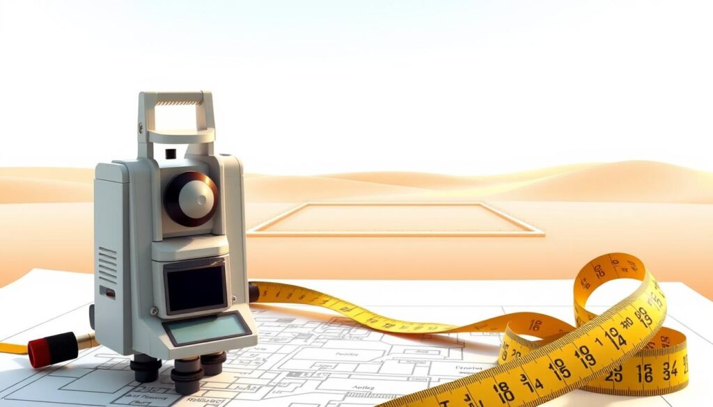
Knowing the costs of a property boundary survey is key for homeowners and investors. The price to hire a land surveyor can be between $375 and $750. This depends on several important factors that can change the final cost.
Several things affect the cost of a property line survey:
- Property size and complexity
- Geographic location
- Accessibility of the land
- Research needed for historical records
- Type of terrain
Land surveyors have the skills needed for these surveys. They use GPS and total stations for accurate measurements and records.
| Survey Type | Average Cost Range | Typical Duration |
|---|---|---|
| Residential Property Survey | $375 – $750 | 3-10 days |
| Large or Complex Property | $750 – $1,000 | 2 weeks |
| Boundary Dispute Resolution | $800 – $1,500 | 1-3 weeks |
To save money, consider these tips:
- Collect any existing property documents before the survey
- Make sure the property boundaries are easy to access
- Get quotes from several licensed surveyors
- Combine the survey with other property services
Even though hiring a land surveyor might seem pricey, it’s worth it. It gives you vital info about your property’s boundaries. This can avoid expensive legal issues and ensure your property transactions are correct.
Building and Landscaping Near Property Lines
Building and landscaping near property lines need careful planning and knowing local rules. About 80% of homeowners might not know their property lines well. This can cause expensive disputes and legal issues.
Before starting any project, homeowners must think about several key points. This ensures they follow the rules and avoid problems with neighbors.
Setback Requirements: Understanding the Basics
Setback rules are important for any property work. They say how far buildings must be from property lines. Here are some common guidelines:
- Homes: 5 to 10 feet from side lines
- Front and back setbacks: 10 to 20 feet from boundaries
- Fences: 2 to 8 inches from lines
- Sheds: 5 feet from rear line, 2 feet from sides
Permit Regulations and Compliance
To start construction, homeowners must take important steps:
- Call 811 (Diggers Hotline) to check for underground utilities
- Get a property boundary survey
- Check local zoning rules
- Get the right permits before starting
“Knowing your property lines is the first step in responsible home improvement” – Real Estate Expert
Breaking setback rules can lead to big problems. You might face fines or have to remove unauthorized structures. A professional survey, costing $300 to $1,000, can help avoid these issues.
Pro tip: Always talk to neighbors about your plans. This keeps good relations and prevents disputes.
Preparing for Property Line Verification
Getting ready for property line verification is key to getting it right. Homeowners need to plan well before they get a professional survey or try to find boundary markers and monuments.
Important steps include collecting important documents that help find property corners accurately:
- Collect existing property deed records
- Retrieve historical land survey documents
- Compile local county assessor information
- Review original property purchase paperwork
Property surveys can cost between $300 and $1,000. Getting accurate boundary identification helps avoid legal issues and ensures land is used correctly.
Accurate property line verification is not an expense, but an investment in your property’s future.
Before starting a survey, professional surveyors suggest preparing certain documents:
| Document Type | Purpose | Importance |
|---|---|---|
| Property Deed | Verify legal ownership boundaries | High |
| Previous Surveys | Compare historical boundary markers | Medium |
| Title Reports | Confirm legal property descriptions | High |
Talk to your neighbors about your plans to check the property lines. Being open can help avoid confusion and fights over property lines.
Conclusion
Knowing how to find property lines is key for homeowners and investors. A professional survey can show exact land boundaries. Costs range from $376 to $745. These surveys last 5 to 10 years, making them a smart long-term investment.
Whetzel Homes Collective suggests being proactive about checking property lines. You can use digital tools, county records, or professional services. This helps protect your property rights and avoids legal issues.
Property owners in St. George, Utah, can call Whetzel Homes Collective at (435) 334-1544 for help. Our team knows how to handle property boundary issues. We offer personalized support for your property research.
Investing in knowing your property lines is essential for responsible ownership. Knowing your boundaries can prevent conflicts, support improvements, and give you peace of mind. It’s important in the complex world of real estate.
FAQ
What exactly are property lines?
How can I find my property lines without hiring a surveyor?
What is a land survey, and when do I need one?
How much does a professional property line survey cost?
What exactly are property lines?
How can I find my property lines without hiring a surveyor?
What is a land survey, and when do I need one?
How much does a professional property line survey cost?
FAQ
What exactly are property lines?
Property lines are legal boundaries that show where one property ends and another starts. They are set by professional surveys and recorded in official documents. This determines the exact area owned by a property owner.
How can I find my property lines without hiring a surveyor?
You can check county records, examine property deeds, and use online tools like Google Maps. Local zoning departments and physical markers can also help. But, these methods might not always be 100% accurate. A professional survey is best for legal precision.
What is a land survey, and when do I need one?
A land survey is a detailed assessment of property boundaries. It uses special equipment and legal documents. You might need a survey when buying a property, planning projects, or selling your property. It ensures clear boundary information.
How much does a professional property line survey cost?
The cost of a survey varies by property size, terrain, and location. For homes, it can be between 0 and
FAQ
What exactly are property lines?
Property lines are legal boundaries that show where one property ends and another starts. They are set by professional surveys and recorded in official documents. This determines the exact area owned by a property owner.
How can I find my property lines without hiring a surveyor?
You can check county records, examine property deeds, and use online tools like Google Maps. Local zoning departments and physical markers can also help. But, these methods might not always be 100% accurate. A professional survey is best for legal precision.
What is a land survey, and when do I need one?
A land survey is a detailed assessment of property boundaries. It uses special equipment and legal documents. You might need a survey when buying a property, planning projects, or selling your property. It ensures clear boundary information.
How much does a professional property line survey cost?
The cost of a survey varies by property size, terrain, and location. For homes, it can be between $300 and $1,000. The final price depends on property size, accessibility, and local rates.
What are some common property line disputes?
Disputes often involve encroachments, fence placement, shared space, and landscaping near edges. These can be solved through talking, mediation, or legal advice.
Are there reliable apps for finding property lines?
Apps like LandGlide and Landgrid can give rough boundary info. But, they’re not definitive for legal use. They’re good for initial checks, but surveys are more accurate for exact boundaries.
What documents should I keep related to my property lines?
Keep original surveys, deed records, plat maps, boundary agreements, and local authority correspondence. Store both physical and digital copies securely for future use and disputes.
What are setback requirements?
Setback requirements are local rules for how far structures must be from property lines. These rules vary and impact construction and landscaping. Always check with local zoning before starting projects near boundaries.
What is a metes and bounds description?
Metes and bounds describes land boundaries using physical features, directions, and distances. It starts from a point and describes the perimeter with compass directions and measurements. It gives a detailed legal description of the property’s boundaries.
Can I measure my property lines myself?
You can try measuring with tools like tapes and compasses. But, these methods are not legally binding. They can give a rough idea, but official surveys are needed for legal accuracy and to avoid disputes.
,000. The final price depends on property size, accessibility, and local rates.
What are some common property line disputes?
Disputes often involve encroachments, fence placement, shared space, and landscaping near edges. These can be solved through talking, mediation, or legal advice.
Are there reliable apps for finding property lines?
Apps like LandGlide and Landgrid can give rough boundary info. But, they’re not definitive for legal use. They’re good for initial checks, but surveys are more accurate for exact boundaries.
What documents should I keep related to my property lines?
Keep original surveys, deed records, plat maps, boundary agreements, and local authority correspondence. Store both physical and digital copies securely for future use and disputes.
What are setback requirements?
Setback requirements are local rules for how far structures must be from property lines. These rules vary and impact construction and landscaping. Always check with local zoning before starting projects near boundaries.
What is a metes and bounds description?
Metes and bounds describes land boundaries using physical features, directions, and distances. It starts from a point and describes the perimeter with compass directions and measurements. It gives a detailed legal description of the property’s boundaries.
Can I measure my property lines myself?
You can try measuring with tools like tapes and compasses. But, these methods are not legally binding. They can give a rough idea, but official surveys are needed for legal accuracy and to avoid disputes.
