
A property survey acts as a detailed roadmap of land ownership. This two-dimensional document outlines boundaries, utility lines, and structures, providing clarity for buyers and sellers. At Whetzel Homes Collective in St. George, Utah, we believe decoding these documents shouldn’t feel like solving a puzzle.
This guide breaks down both visual elements and written descriptions found in standard surveys. You’ll learn to identify key markers like easements or zoning details that impact land use. Whether you’re purchasing a home or evaluating investment opportunities, grasping this information helps avoid costly oversights.
Our team at (435) 334-1544 combines technical expertise with Utah-specific real estate knowledge. We simplify complex diagrams into actionable insights, ensuring you understand every line and symbol. Clear illustrations paired with precise measurements create a complete picture of your potential property.
Key Takeaways
- Surveys clarify land boundaries and infrastructure locations
- Visual maps work with written reports for full property analysis
- Accurate surveys prevent legal disputes over land use
- Local expertise matters for regional zoning regulations
- Professional guidance transforms technical data into practical knowledge
Understanding Property Surveys and Their Importance
Accurate land division records form the foundation of real estate transactions. These documents protect buyers from boundary disputes while identifying critical infrastructure placements. Let’s explore their structure and decoding tools.
What Is a Property Survey?
A property survey serves as a legal snapshot of land dimensions and features. Certified surveyors create these maps using advanced tools like GPS and total stations. Key elements include:
| Component | Purpose | Example |
|---|---|---|
| Boundary Lines | Mark legal ownership edges | Iron rods or concrete markers |
| Utility Markers | Show underground infrastructure | Gas lines, sewer pipes |
| Easements | Highlight shared access areas | Driveways, power line paths |
The Role of a Survey Legend
Legends act as translation guides for technical symbols. A diamond shape might represent a buried marker, while dashed lines often indicate proposed changes. Without this key, diagrams remain cryptic.
“A well-designed legend bridges the gap between raw data and actionable insights,”
Modern surveys combine precise measurements with clear visual coding. This dual approach helps owners verify fence placements or plan home expansions confidently. Reliable surveys prevent costly errors like building on neighboring land.
How to Read a Property Survey for Accurate Property Boundaries
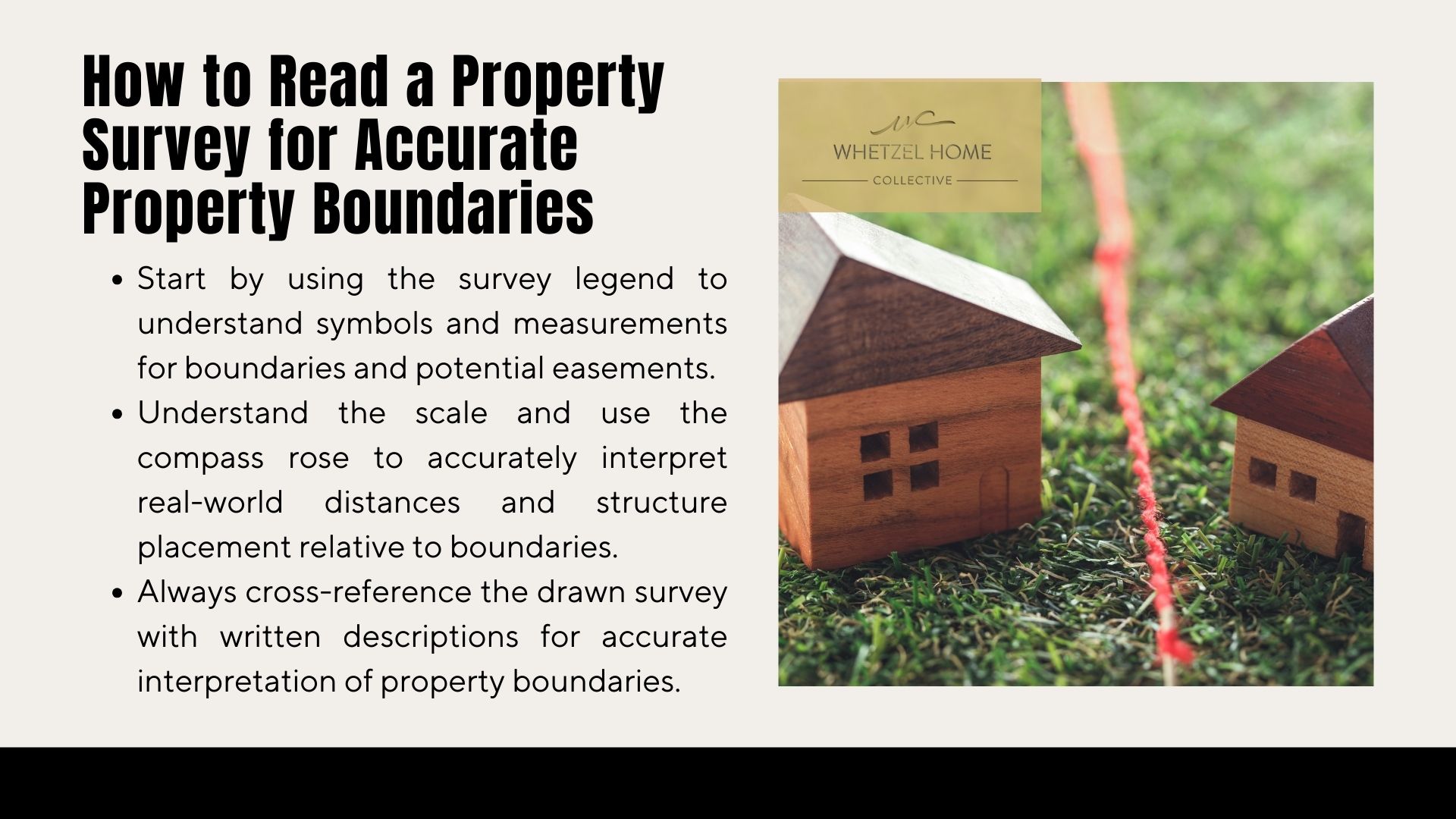
Interpreting spatial data requires methodical examination of critical markers. Start by locating the legend – your cheat sheet for symbols like dashed lines (potential easements) or circled crosses (permanent markers). Measurements appear as numbers along boundary edges, often in feet or meters.
Steps to Identify Key Survey Components
- Match symbols in the legend to physical markers on-site
- Trace boundary lines using consecutive measurement points
- Verify angles against compass orientation indicators
Scale indicators (e.g., 1″=20′) determine real-world distances. A quarter-inch discrepancy on paper could mean 5 feet on actual land. Always cross-reference written descriptions with drawn elements for consistency.
Mastering Orientation Tools
| Tool | Function | Practical Use |
|---|---|---|
| Compass Rose | Shows cardinal directions | Aligns structures with legal setbacks |
| Bar Scale | Converts map inches to real feet | Calculates driveway lengths |
“Scale accuracy separates usable surveys from decorative maps,”
Rotate the document until the compass arrow points north. This reveals how structures sit relative to lot lines. Combined with precise scaling, you’ll spot if that oak tree actually belongs to your neighbor.
Analyzing Key Elements: Boundaries, Easements, and Fences
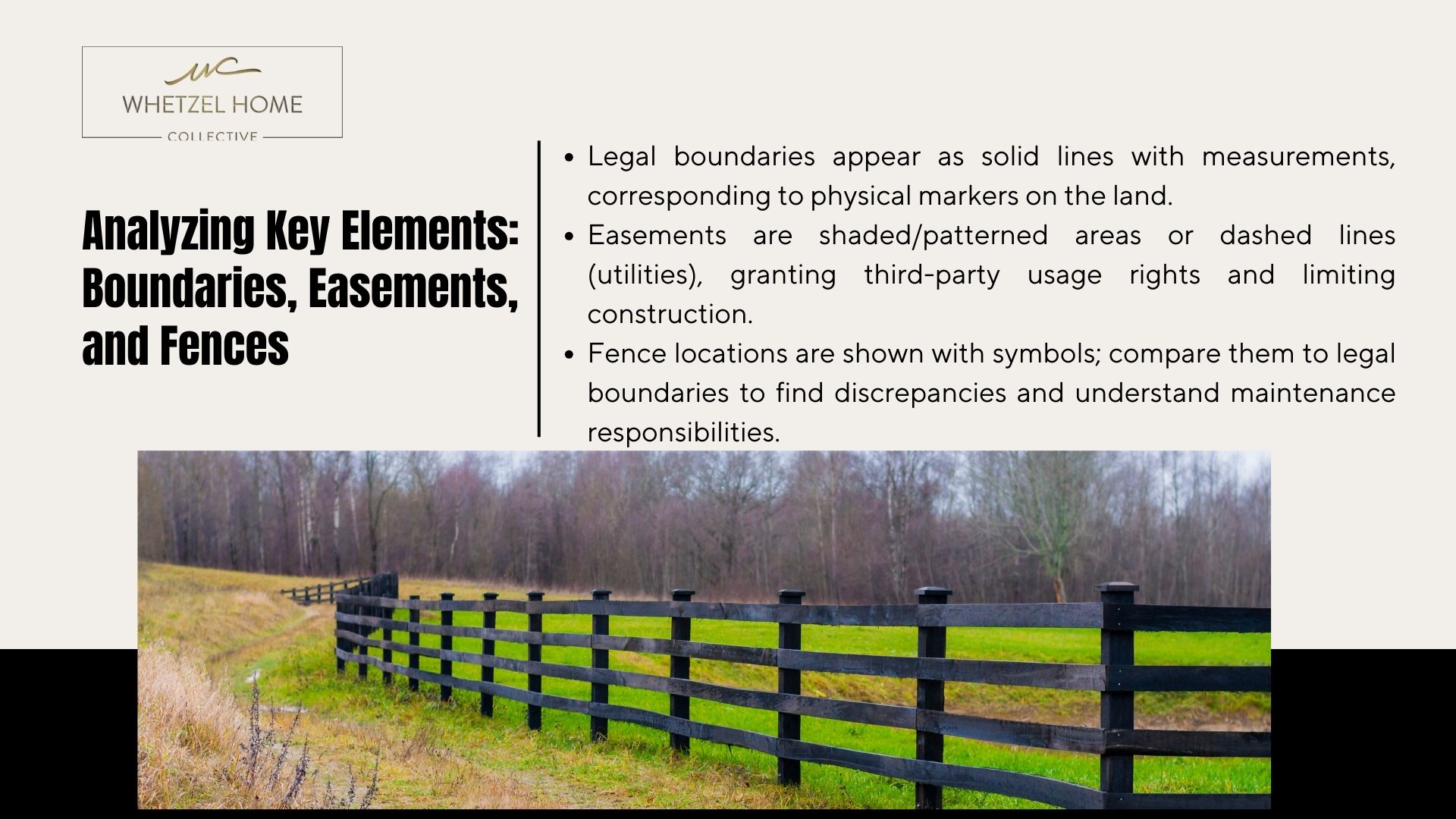
Land ownership clarity begins with precise documentation of physical and legal limits. Surveys use standardized symbols to communicate critical information about land use rights and structural placements. Three components demand particular attention when reviewing these technical diagrams.
Decoding Boundary Markers
Boundary lines appear as solid strokes with measurement notations along their length. These marks correspond to physical markers like iron pins or concrete monuments. A typical residential survey might show:
| Symbol | Representation | Legal Impact |
|---|---|---|
| Solid Line | Definitive boundary | Ownership division |
| Dashed Line | Potential easement | Access restrictions |
| Dotted Line | Fence location | Physical barrier |
Measurements between angled markers (like Δ24°) confirm exact plot dimensions. Discrepancies between fence positions and legal boundaries often surface during this analysis.
Easement Interpretations
Easements appear as shaded zones or patterned areas, granting specific usage rights to third parties. Utility companies might hold underground access through your land, indicated by parallel dashed lines. These features limit construction options while protecting essential services.
“An unrecorded easement can derail landscaping plans years after purchase,”
Fence symbols vary by surveyor but often use hatch marks or dotted patterns. Their placement helps identify maintenance responsibilities. Remember: a fence standing 6 inches inside your boundary line still requires neighbor permission for relocation.
Expert Insights from Whetzel Homes Collective in St. George, Utah

Navigating property documents demands both precision and local insight. Whetzel Homes Collective combines technical expertise with deep knowledge of Southern Utah’s terrain and regulations. Their team transforms complex data into clear guidance for buyers and investors.
When to Consult a Professional Surveyor
Land surveyors become essential when:
- Boundary disputes arise between neighbors
- Easement descriptions lack clarity in written reports
- Structural additions require precise location verification
A recent case involved overlapping property lines near a Red Rock Canyon parcel. Surveyors resolved the conflict using bearing measurements and historical records, preventing legal action.
| Situation | DIY Risk | Professional Solution |
|---|---|---|
| Fence installation | Encroachment fines | Exact line marking |
| Pool construction | Utility line damage | Underground mapping |
| Land division | Illegal lot sizes | Zoning compliance |
Leveraging Local Expertise for Better Property Decisions
St. George’s unique geology requires specialized surveying approaches. Whetzel’s team understands:
- Local erosion patterns affecting boundary markers
- Municipal water rights documentation
- Desert-specific structural regulations
“A survey report without local context is like a map without landmarks. We bridge that gap daily.”
Review reports for these key elements:
- Sealed surveyor certification
- Date-stamped measurements
- Cross-referenced area maps
For personalized analysis of your land documents, contact Whetzel Homes Collective at (435) 334-1544. Their team deciphers technical details while explaining practical impacts on your property use.
Conclusion

Mastering land documentation unlocks confident real estate decisions. This guide outlined critical elements like boundary markers, easement symbols, and scale indicators found in professional surveys. Combining visual illustrations with written reports creates a complete picture of your land’s unique features.
Always verify a surveyor certificate for validity. Accurate surveys prevent disputes by clarifying ownership lines and utility access points. As local experts, Whetzel Homes Collective deciphers technical details specific to Southern Utah’s terrain and regulations.
Use both the map’s graphical data and legal descriptions when evaluating property. Whether planning construction or resolving boundary questions, professional analysis ensures compliance with zoning laws and protects your investment.
Ready to decode your land documents? Contact Whetzel Homes Collective at (435) 334-1544. Their team transforms complex surveys into clear guidance, helping you make informed choices with confidence.
FAQ
What details appear in a survey legend?
A survey legend decodes symbols, abbreviations, and notations used on the document. It clarifies boundary markers, easements, structures, and scale ratios. Always cross-reference the legend with measurements to verify features like fences or natural landmarks.
Why are boundary lines critical in land surveys?
Boundary lines define legal ownership limits and prevent disputes with neighbors. They’re marked using precise bearings, distances, and physical markers (e.g., iron rods). Misinterpreting these lines could lead to encroachments or zoning violations.
How do compass bearings clarify property orientation?
Bearings indicate directional angles (e.g., N45°E) between boundary points. Combined with distance measurements, they create an accurate geometric layout. Use a standard compass to align the survey with actual terrain features.
What steps help verify boundary measurements?
Start by locating permanent markers or pins placed by the surveyor. Compare written descriptions with the drawn plan, checking for easements or overlaps. For complex cases, hire licensed land surveyors to confirm accuracy.
How do easements affect property rights?
Easements grant third parties limited access or usage rights (e.g., utility lines). They’re marked on surveys with dashed lines or labels. Review these carefully, as they may restrict construction or landscaping plans.
Can fences indicate accurate boundary locations?
Fences often approximate boundaries but aren’t always legally precise. Older installations might deviate from current surveys. Always validate fence alignment against the surveyor’s measurements to avoid disputes.
When should homeowners hire a professional surveyor?
Consult a surveyor before purchasing land, resolving disputes, or making structural changes. They’ll update outdated records, identify encroachments, and certify boundaries for legal compliance.
How does local expertise improve survey accuracy?
Firms like Whetzel Homes Collective understand regional zoning laws, soil conditions, and historical records in areas like St. George, Utah. This knowledge ensures surveys account for local easement rules or environmental factors.